
2014 Sunday —1903 Geologic Map
We visited the "Rock & Mineral Show" this afternoon here in Cayucos. Lots of jewelry and polished stones were displayed.
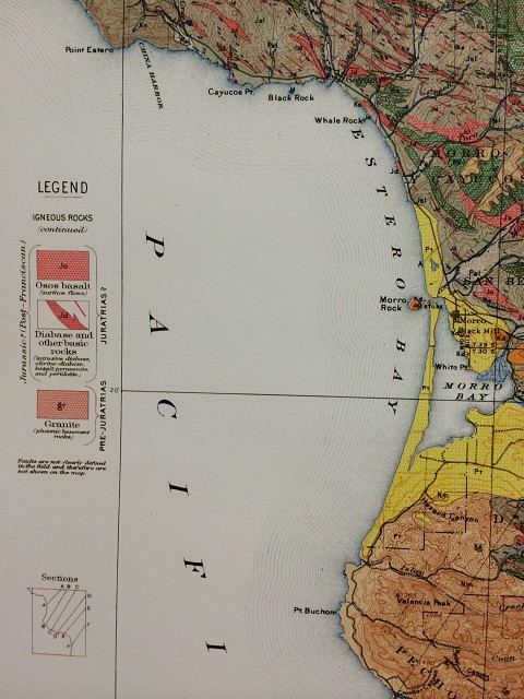
Mr. Fun decided to have a ring of his resized because it was just too tight on his finger. So while we were waiting for the work to be completed, I noticed this hundred and eleven year old map (well it's a reprint).
The property that our house is on contains lots of outcroppings of rock. We've been told that the rock is Serpentine. The map reveals that general information to be true.
From our place we can see all of Estero Bay, from Pt. Buchon in the south to Cayucos Pt. in the north. Our place is located on the north end of the bay on the land between Whale Rock and Black Rock in the very small unincorporated community of Cayucos.
It's been a nice Father's Day Sunday.
Rosie (& Mr. Fun), aka
Comments
Sign in or get an account to comment.


