
Blue Highways and a Blue Room
I decided to read Blue Highways -- A Journey into America (1982) again before donating it to TerriG, but this time I wanted to follow the journey on a map.
The author, William Least Heat Moon, followed the back roads of rural America, avoiding freeways and cities as much as possible. I knew I needed very detailed maps if I hoped to find the lesser highways, hamlets, and streams that he felt were worthy of a mention.
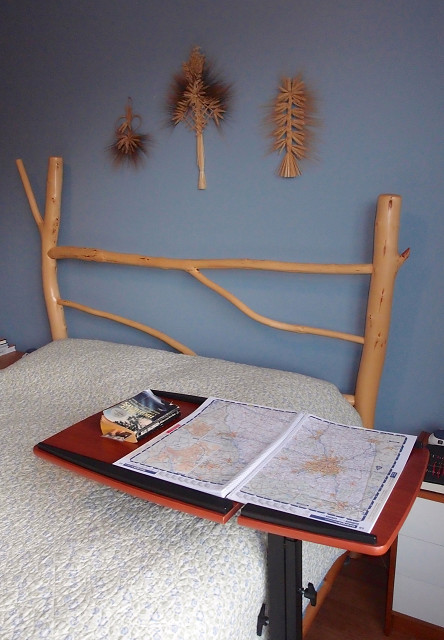
Even with the 264-page Rand McNally road atlas shown in the photo, it's turned out to be more difficult than I imagined. Here's a typical sequence:
Leaving Noplace, I followed state highway 123 past blah blah blah.....After crossing Wet Creek, I stopped for lunch in Someplace.
I think some of the highways might have been renumbered, because I can't find 123, and Wet Creek isn't shown on the map. I'm having trouble locating Someplace, since I have no idea how far it is from Noplace. I turn to the city index in the back of the book. I'm in luck -- it's listed. No wonder I couldn't find it -- it's on a different page. I note the page number (20 pages away from the Noplace page) and the grid reference. There it is!
Repeat the above as required.
The adjustable book stand, which normally lives in the office, is very convenient for this kind of bedtime reading. I'm very careful to roll it clear of my nocturnal meandering before turning out the light.
Comments
Sign in or get an account to comment.


