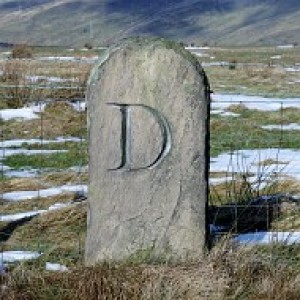
Skid Hill Trig
Parked on road to east then walked around quarry to approach the trig from the west. Top is the quarry edge. Then off to bag Byres Hill and Hopetoun Monument.
Name: Garleton Hills [Skid Hill]
Hill number: 7347
Height: 186m / 610ft
Area: 28A: Firth of Forth to the River Tweed
Class: 1,sHu
Grid ref: NT 50729 76433
Summit feature: ground 2m from trig point
Drop: 98m
Col: 88m NT426719

Comments
Sign in or get an account to comment.


