
Water level measurement since 1847
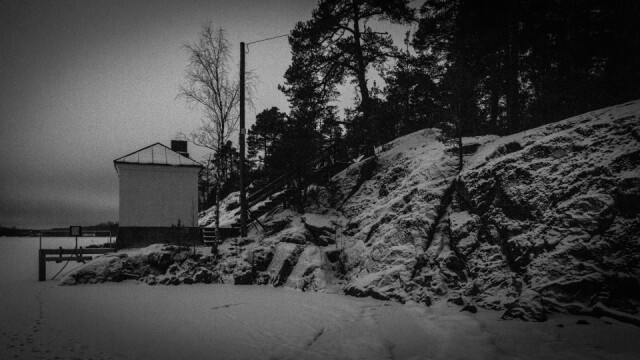
After the heavy week at work, I was in need of fresh air, so I did a short evening walk in the nearby. This water level measurement station is near the mouth of Saimaa Canal and it is the oldest station in Finland for monitoring lake water levels and ice thickness. The station has been operating since 1847.
Until 1933, the water level was measured from a scale attached to a beam, which was read daily. In 1933, a water level station was built next to the shoreline rock, and the use of a mareograph for water level monitoring began.
Nowadays, data is collected using pressure sensors, and the measured data is available in real-time. The shoreline rock shows the water level of the great flood of Saimaa from 1899, which is called the so-called 'bankruptcy line.'
Ice thickness has been measured at the station since 1917. Measurements are carried out three times a month. In Lauritsala, Saimaa typically freezes on November 27th. The over a hundred-year measurement series history shows that the ice has thinned over the decades and the ice cover period has shortened."
a{text-decoration:none;color:#464feb}
Comments
Sign in or get an account to comment.


