
Around the Block
A little boy learning to combat viruses needed a walk. Fresh air and motion would soothe. We took the green lane that predates these Edwardian houses, marked on the 1838 and 1884 maps. We skirted Hazelwell Park - the land falls away and there is a fine view across the park: the willow trees (that may be the remains of the osier meadow marked on the earlier map); the site of the 'hazel well' itself; the "chocolate river", as our daughter called it (soil washed in by the recent rain, not outflow from nearby Bourneville); and beyond across south Birmingham towards Wales
Hazelwell is everywhere. The landowning family, recorded here in the 13th century took its name from the land, not the other way around, then named its hall, its mill and its home farm and many other features. The hall is gone, but the name just stuck around until a pub was built on the site so it could take up residence. We walked with a sleeping, healing boy along 'Hazelwell Fordrough' - a Tolkeinesque name on an Edwardian street sign. The 1838 map records this as the 'Foredrove' to Hazelwell Hall - I suppose Hobbits don't excell at spelling
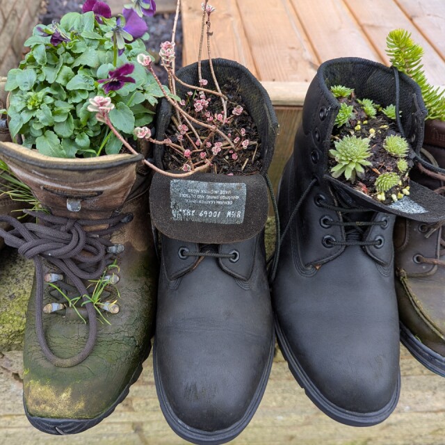
We returned past the mill - a grindstone can still be found, if you know where to look. Since those days, the site has made swords, guns, rubber and now beer. Back home the boots on the front wall are showing signs of spring. I hope one day the boy and I can laugh about grandfather's garden boots becoming part of the boot garden - playing with words as well as toys. He'll need to learn skill with words - words can stick around
Comments
Sign in or get an account to comment.


