As I was explaining.....
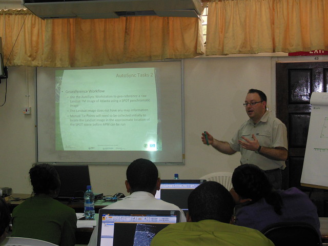
Today was the first day of the training sessions for this input visit to Guyana. The purpose of the trip was to provide training on Remote Sensing Image processing software and also conducting satellite image land cover classifications.
Here is an action shot of me giving a training session this afternoon explaining the tasks the students were required to work through. Thanks to my colleague Noemi for taking the picture.
Tonight is quiz night again, so there may be a blip of another trophy tomorrow. Fingers corssed.
Comments
Sign in or get an account to comment.


