Day 12: Conche and Fishermen
Today we took a trip to Conche - some facts
"Conche is located on the sheltered southwest side of a small bay formed by the south side of a T-shaped peninsula, called the Conche Peninsula, which is joined to the mainland by a short, slender isthmus. Although the area mostly consists of steep cliffs, the settlement is concentrated on gentle sheltered slopes and in the small covers north and south of the isthmus. The settlement to the immediate north of the isthmus was Cape Rouge qv (later Northeast and Southwest Crouse). The community of Conche goes a long way back and was one of the fishing communities used in the summer for the French fishing boats that crossed the Atlantic full of salt to preserve the cod that they took back to France in the autumn.
It is remarkable that the town has only been accessible by road since 1970. Until that time, the journey had to be on foot (21 km) or by boat
The French Shore Tapestry is a 66 meter (216 ft) long embroidered tour de force of storytelling inspired by the famous 11th century Bayeux Tapestry. Created in France and northern Newfoundland, the memorable linen and wool mural tells the history of that region’s French Shore, from the pre-historic animals that roamed the forests and shoreline to the moment in 2006 when a few talented women in the tiny outport of Conche began their embroidering odyssey. As the viewer moves along the tapestry, a parade of historic and colourful characters bring alive the events and legends that make French Shore history unique
It was designed by a French artist, but the embroiderers were all residents of Conche. The effect is stunning:
http://www.frenchshoretapestry.com/en/intro.asp
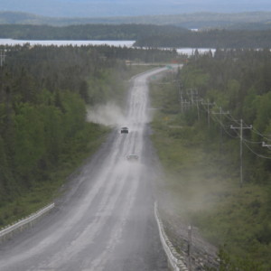
The road is mostly tarmac, but the first 6 km is graded - hence the dust cloud in blip 2.
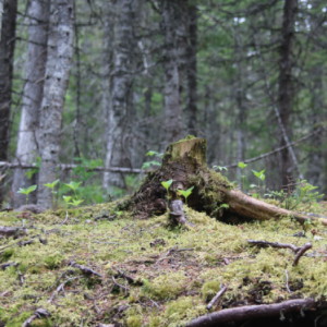
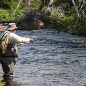
We then went on to a salmon fishing river in wonderful woods and peaceful fishermen. The only downside were voracious mosquitoes!


Comments
Sign in or get an account to comment.


