North End of the Caledonian Canal
Get up about 5am, have a quick shower, then head down for breakfast (continental only). There has been a little rain overnight, but the roads are dry. I collect my bike, and cycle down to my Wave start area.
Etape Loch Ness
I cross the start line at 6:20,and we're heading south down the A82. It's not long before we see water,the wee Loch Dochfour, then Loch Ness. The route is very wooded, so in places, not very good views to the right hand side. The road stays higher than the loch, so great views most of the time on the left hand side. There are times where there are no views where rivers feed in to the loch, such as Drumnadrochit. We cross the river, and head back east. Urquhart Castle is a blur.
On the whole the route s rolling so far, but we descend as we reach the far end of Loch Ness at Fort Augustus, and the route is flat for a short while as we cross the river and canal and on to the east side to head north.
The main climb starts almost immediately. 4.2 miles,mainly 8 to 10%, occasional flat bits and others reaching 12%. this is General Wade's Military Road to Inverness. Here the B862, then B852, and rejoining the B862. We start off at 33m asl. Aclimb up to 176m ASL, a wee descent, There is a middle climb from Glen Doe (167m ASL) to Loch Tarff (294m ASL) Another flat section before the last climb where the piper plays to welcome riders to the top at 393m ASL.
The first part of the descent is fairly straight and fast. We turn off the B862 and head for Foyers. It's pretty lumpy here, and the road very narrow. Some steep descents followed by short sharp ascents. Very technical. After Inverfarigaig, the road follows the loch shore, and is quite flat until Dores.
The last section from Dores to the finish is up a small climb. I vertake most people who overtook me on the descent (apart from the really fast guys and gals, who are also much younger than me). A guy tries to take me on, but in the end he gives up, and I latch on to a fast moving group. There follows a short descent, and I am pleased to keep myself on to the back of the group. Before we know it, it's across the final bridge, along Ness Walk, past the cathedral and over the finish line.
The whole route can be seen at Relive here.
My time:
Event Time Position KOTM Time KOTM Position
03:26:48 665 00:28:36 395
At the finish line, we are treated to a locally produced doughnut, and a small, but appreciated beer. Also I get my medal and finish pack, and go get a coffee.
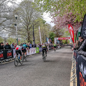
I stay for a while at the finish to watch a few rides come in (Extra 1). What I didn't catch is the clash of wheels, and rider going in to the barriers. shame to ride all that way,and fall in the last few metres.
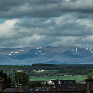
After a shower and change,I head in to town to get some lunch. The sky has cleared, and my my hotel room window, I get Extra 2 of some hills to the north.
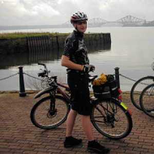
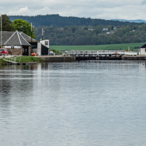
The I head back to the River Ness, and follow it to Beauly Firth. Then I head west to the Caledonian Canal. On the sea wall path, I take my main blip, which shows the North end of the Caledonian Canal, where it enters the sea. In the distance, some of the higher mountains still have some snow. There is much less snow than would normally be visible, it has been a dry and mild winter. Extra 3 shows the last lock from the canal towpath.
Then it's back to the hotel,dump some stuff, then in to town to get some coffee (and cake).
My evening meal is in the hotel (with a couple of beers), before I head back to my room, and fairly early night.


Comments
Sign in or get an account to comment.


