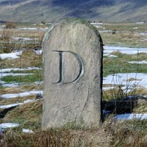
Corryhabbie Hill
Parked at the Allanreid car park then walked up the River Livet towards Suie then up to Carn na Bruar, Cook's Cairn, Corryhabbie Hill and Tor of Suie with good company on my journey of 25.4km.
Name: Corryhabbie Hil
Hill number: 1491
Height: 781m / 2562ft
Section: 21A: Tomintoul to Banff
County/UA: Moray (UA)
Class: Marilyn, Hump, Sim, Corbett
Grid ref: NJ 28093 28859
Summit feature: trig point in windshelter
Drop: 278m
Col: 503m NJ291280
197
views
- 1
- 0
- Panasonic DMC-TZ30
- 1/400
- f/4.0
- 4mm
- 160

Comments
Sign in or get an account to comment.


