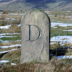
Hunger Hill - Top O' Cow, Bolton
Hunger Hill 166 meters and a P57. This is my second visit this year. I needed to get a better picture of its nearby trig point, FB S2799.
The name is common for bleak and bare hills, from the Old English 'hungor' meaning sparse pasturage.
I was in the area to bag the new Salford current county/UA top at the junction of Newcombe Drive and Anchor Lane. I prefer the previous choice Greenheys on the nearby golf course which is 1 meter lower.
A day of heavy showers in Grimsargh but found a gap in the rain to do these 2 tops !!
304
views
- 0
- 0
- Panasonic DMC-TZ20
- 1/100
- f/4.0
- 4mm
- 160

Comments
Sign in or get an account to comment.


